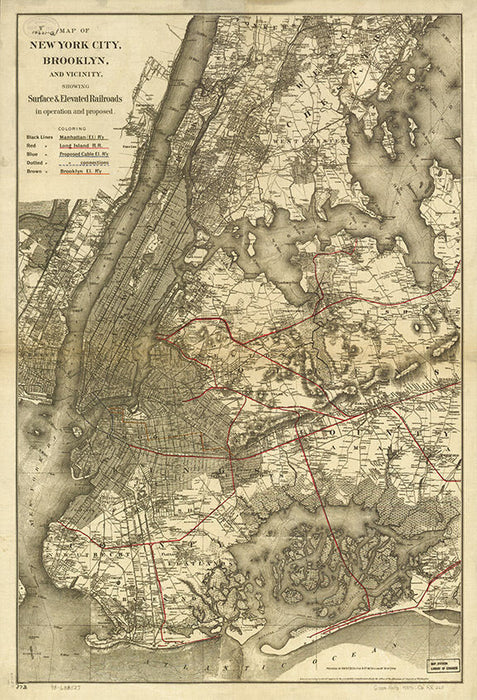
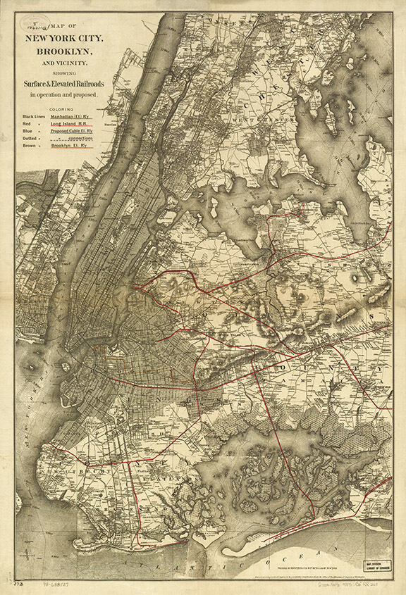
This listing is a beautiful modern reproduction print made from the original Map of New York City, Brooklyn, and vicinity showing surface & elevated railroads in operation and proposed 1885. Sized at 16"x24", printed on beautiful paper, this map is perfect for framing or hanging right out of the tube.
Related products
from $15.99 USD
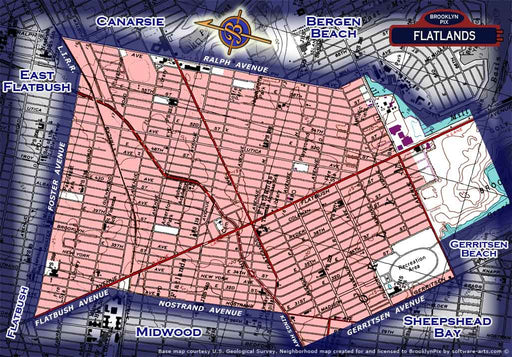
Neighborhood borders map for Flatlands
Books
ۢAll purchased images are printed without the watermark. We have one of the largest archives of vintage Brooklyn & New York City photos availab...
View full details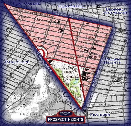
from $15.99 USD
Prospect Heights neighborhood borders map
Maps
All purchased images are printed without the watermark. We have one of the largest archives of vintage Brooklyn & New York City photos availabl...
View full details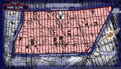
from $15.99 USD
Neighborhood borders map for Park Slope
Maps
All purchased images are printed without the watermark. We have one of the largest archives of vintage Brooklyn & New York City photos availabl...
View full details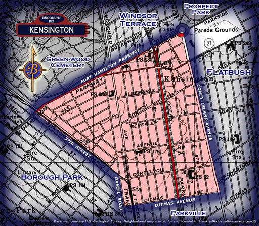
from $15.99 USD
Neighborhood borders map for Kensington
Maps
ۢAll purchased images are printed without the watermark. We have one of the largest archives of vintage Brooklyn & New York City photos availab...
View full details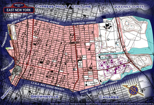
from $15.99 USD
Neighborhood borders map East New York
Maps
ۢAll purchased images are printed without the watermark. We have one of the largest archives of vintage Brooklyn & New York City photos availab...
View full details