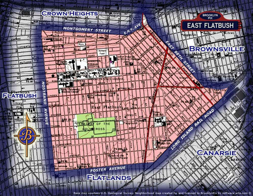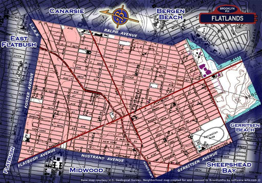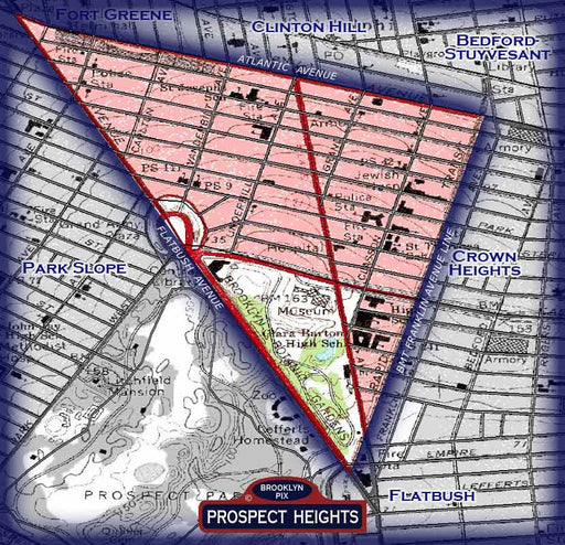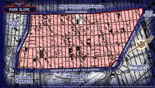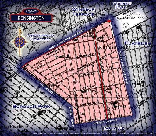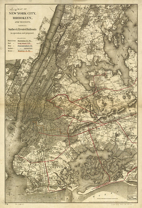

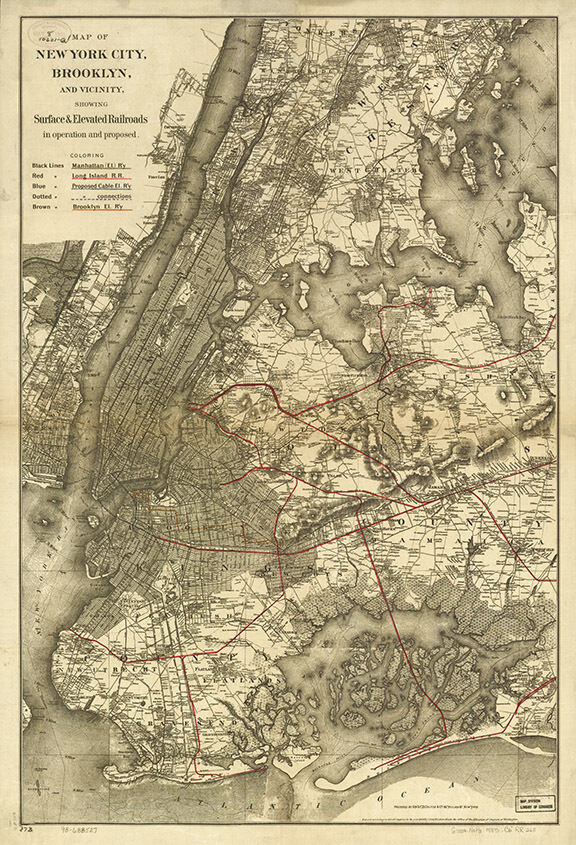
This listing is a beautiful modern reproduction print made from the original  Map of New York City, Brooklyn, and vicinity showing surface & elevated railroads in operation and proposed 1885. Sized at 16"x24", printed on beautiful paper, this map is perfect for framing or hanging right out of the tube.